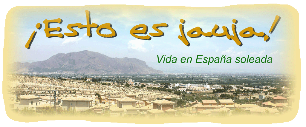
The Hydrographic Confederation of Segura (CHS) has just completed a project which provides us with a bird’s eye view of the area. They have digitised frames from aerial pictures taken in 1969 of the river Segura between Calasparra and Guardamar del Segura.
To see this you need to go to the web site http://www.chsegura.es, click on the tab at the right hand side (GIS viewer) or go directly to the page at http://www.chsegura.es/chsic. Once you are there, it works like Google Maps. Click on the globe icon and select Base Maps to access the 1969 images along with others which date from 1929 to the present day.

No comments:
Post a Comment